La Paz: Illustrated City Map
Personal project · 2026 · Research, mapping & illustration · Partly AI-assisted
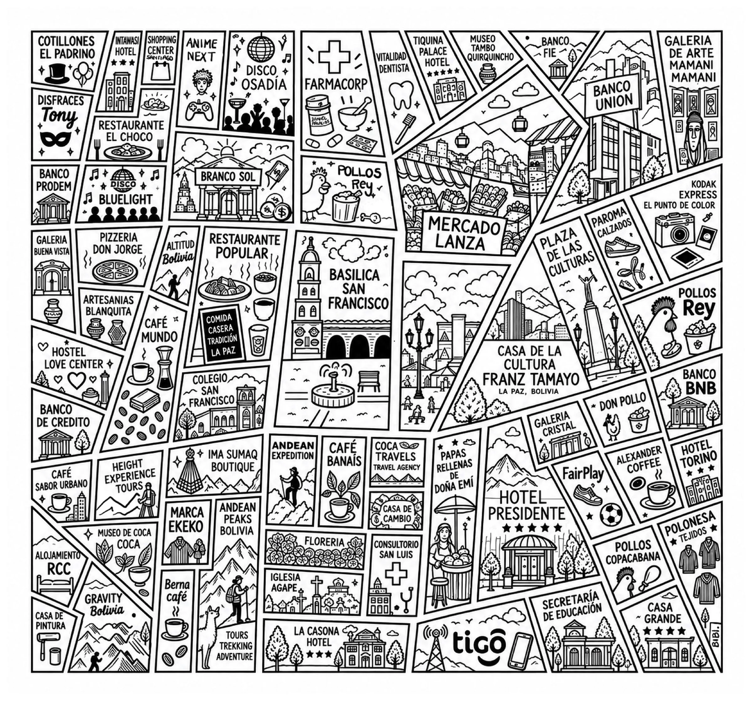
An illustrated map of the historic center of La Paz, Bolivia, my city, around Mercado Lanza and the Basílica San Francisco. I wanted to capture the streets the way people actually experience them: through the stores, cafés, markets and landmarks on every block.
Process
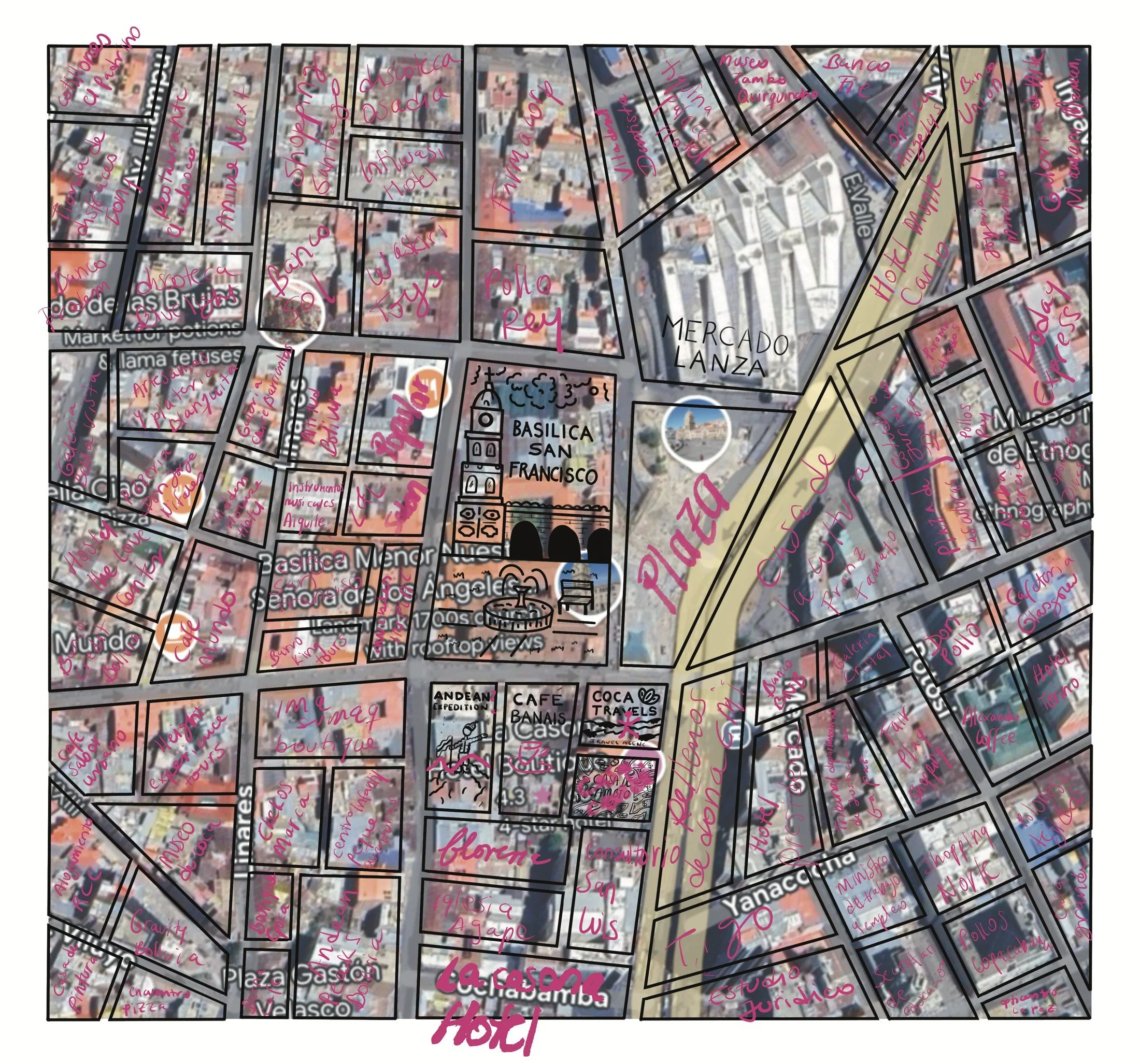
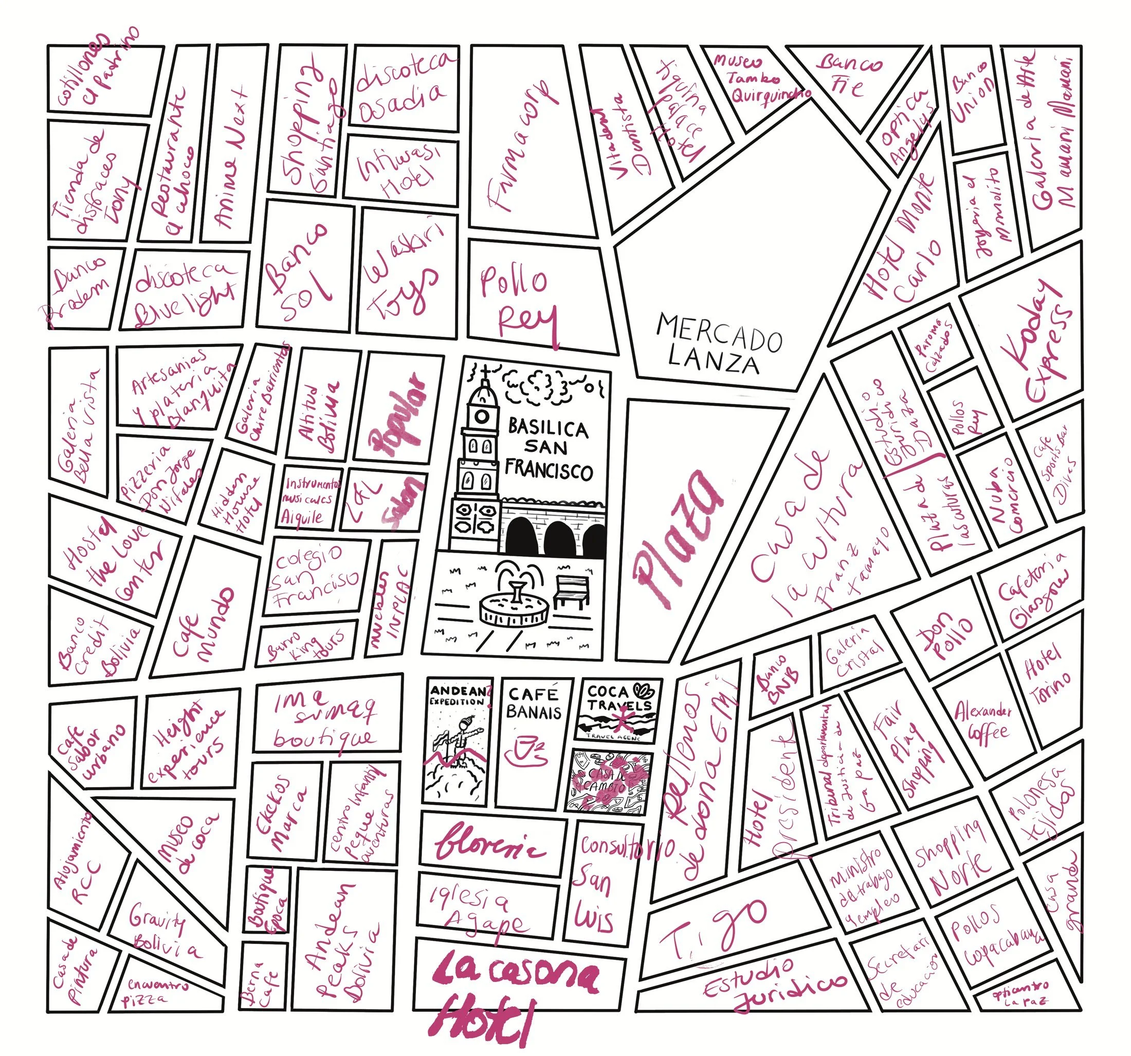
Research: I studied the satellite map of the city center block by block and drew the street skeleton myself.
Mapping: I identified the real stores, cafés, banks, hotels and landmarks inside each block of my skeleton and labeled them by hand.
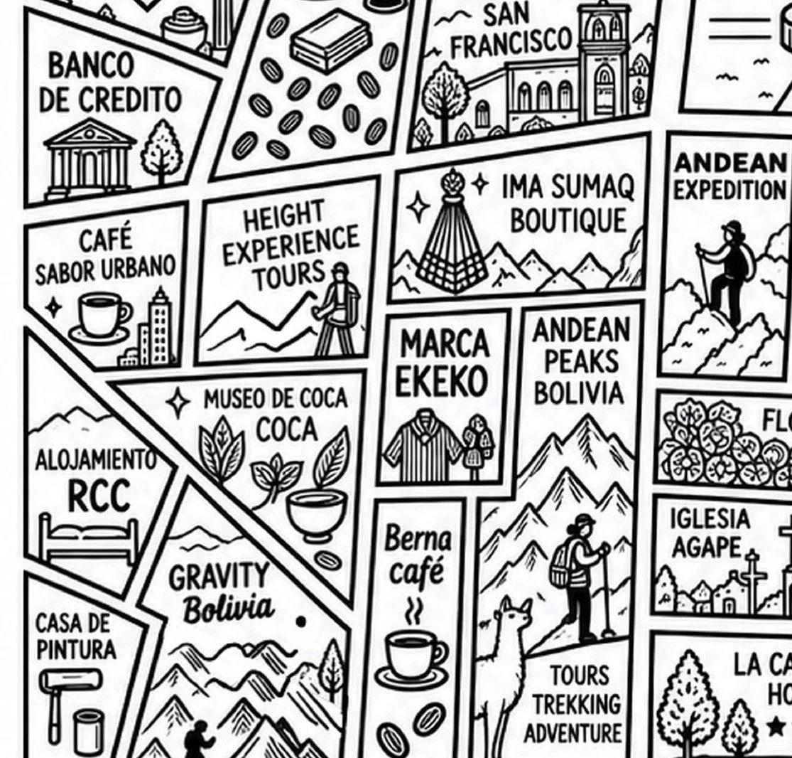
Illustration: I drew doodles for some of my favorite stores. At a certain point I used AI to help fill in the remaining blank blocks.